TS Cristobal forms
Forecast to be short-lived

A disturbance in the central North Atlantic has been classified by the National Hurricane Center as Tropical Storm Cristobal, well ENE of Bermuda moving East at 22 knots. A recent ASCAT pass showed an area of 35-40 kt winds southeast of the slightly elongated and exposed center.

This system will likely be another one-day wonder as it moves over relatively cool sea surface temperatures (25C). A turn toward the northeast, accompanied by a gradual decrease in forward speed is expected later today and tonight. Cristobal will likely be downgraded to a depression within 24 hours, dissipating in 36 hours.
Farther South
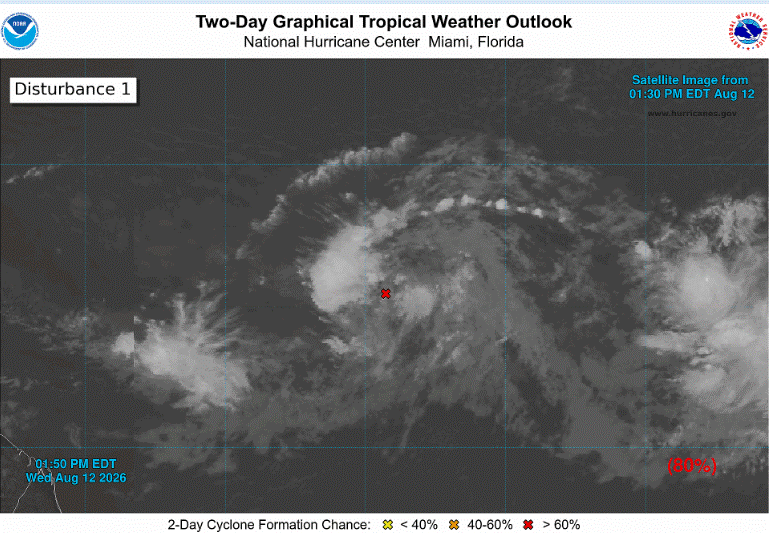
An area of showers and thunderstorms associated with a tropical wave about 950 miles west-southwest of the Cabo Verde Islands as a 80% chance to become a depression within 48 hours, however,longer-term conditions will become less favorable as the system approaches the Antilles. Environmental conditions are forecast to be conducive for development during the next couple of days, and a tropical depression will likely form while the system moves westward to west-northwestward across the central tropical Atlantic.
Longer Term Outlook
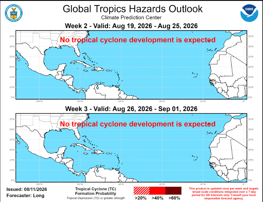
For the remainder of August, the risk for tropical cyclone development will remain low at 20% or less.